Sunday 31 December 2017

Te Araroa Day 68, Heaphy Hut to Karamea

Starting km: (1862)
Finishing km: (1894)
km covered today: 32
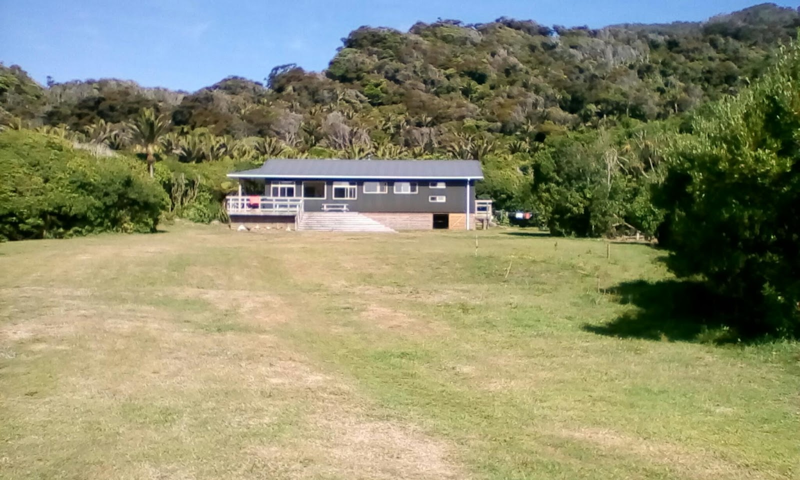
My third and last day on the Heaphy was a short one. Once again I was up and on the trail (just) before 06:00.  The last 16km on the track follow the coast south of the Heaphy River mouth.  Though there are many beaches down below the track, it keeps well above them.  Though the west coast surf was comparatively gentle on this morning, it was still a constant roar, punctuated by occasional larger bangs that sounded like artillery and the clacking of softball sized stones being tossed around by the waves.
Above the beaches the forest had grown even more tropical-looking, now dominated by nikau palms, backed by the occasional rata for colour.  It was just over three hours to the end of the Heaphy.  Back to campervans, roads, farms and mobile phone reception.
It's easy to get a bit jaded about New Zealand's Great Walks.  But then you go and walk one and remember that there are good reasons they're called "Great" (beyond just tourism marketing.)
The scenery on the Heaphy was amongst the best I'd seen on Te Araroa.  The trail was very well maintained (to the point that I internally joked that the protests against building a road on the route in the 1960s were almost moot as they've now more or less done it.) The huts (especially the three more modern ones) are nicer than many urban backpacker hostels I've stayed in.  And despite the fact that the huts and campsites were pretty much all booked out, you still didn't see that many people out on the track. Most of the time it felt like you had the trail to yourself.
In short, the Great Walks are great.
With the Heaphy behind me I walked the 16km along the road to Karmea in another 3 hours or so.  Despite being at the end of one of the Great Walks, Karamea is also at the end of a not-heavily-used road and doesn't have a ton of tourist infrastructure.
There was a hotel, a motel and a fancy cafe/bar/hotel backpackers. I checked there to see if they had any dorm beds available, kind of hoping the answer would be no. I had quite a few km to cover in coming days and it really would be good to get a start on them (I find it amazing even myself that I've got to the point where it feels like a 32km day is being lazy.
On the other hand it had been drizzling on the walk to town and the sky looked pretty grey. And it was New Year's Eve.
In the end they did have a bed. And I decided I really would rather stop.
So I spent the day buying some supplies, cooking a huge lunch and dinner, blog writing, chatting with a lady who runs commercial tours of the Heaphy and watching TV.
As it turns out I (at least in the short term) made the right choice on two counts:
No one else was in my room so it went from being a pricey dorm bed to an inexpensive private room.
And around 16:30 it started pouring rain and continued to do so off and on.
It's only 22:00 now, so I'm not sure if I'll make it to midnight yet. I'll shovel some more food into me, maybe have another glass of wine and we'll see...

Saturday 30 December 2017

Te Araroa Day 67, Aorere (first campsite on the Heaphy Track) to Heaphy Hut

Starting km: (1812)
Finishing km: (1862)
km covered today: 50

As mentioned in the previous entry, the Heaphy track was one of the first Kiwi tramps I did, back in 2004. As such, this day was full of memories of that first walk. Almost all of them, in fact, as it covered 50 of the Heaphy's 78.5km

For such a long day I was up not bright and early. As in the stars were out and the sun not even a glow in the eastern sky when I woke at 04:30.

The morning started with a gentle climb through beech forest, lit by my headlamp for the first hour.  As I walked I thought about how cool it was that I was almost certainly the only person walking on this ~80km trail. Just shortly after sunrise I arrived at the Perry Saddle hut. I'd stayed here in 2004, climbing nearby Mt. Perry as the weather as the weather rapidly deteriorated, but the hut had since been replaced with a new, very fancy construction. I departed just as the very first trampers were getting out of bed and stumbling into the kitchen.

Following the hut, it was a descent through small but dense manuka scrub with occasional views emerging of the mountains above and the tussock (and mist!) covered Gouland Downs below.

One of my fondest memories of the Downs (in fact, along with four men tramping in business suits, my only memories as it was so rainy and foggy I couldn't see more than a few metres away) was the Boot Pole.

About 25km from the start of the track is a pole hung with dozens of pairs of old tramping boots. I'd already planned to walk the Heaphy before I remembered about it and connected it with a pair of shoes I had to retire: the ones I'd worn for the North Island part of Te Araroa.  I felt very happy and excited as I strung them up on the pole in a fitting resting place.

At the next hut, Gouland Downs I chatted with a commercial tour operator who gave me directions to the nearby caves where I spent a wrr while poking around with my headlamp on. He also answered a question that had been on my mind: who clears the boots off the Boot Pole and how often do they do it? The answers are "officially no one" and "whenever someone walking past needs a pair of boots and sees one that suits his/her fancy." I guess I wouldn't mind if my boots find a new home with someone who needs them :-)

The walk through the Downs that occupied the rest of the brilliantly sunny morning was a stark contrast to my 2004 walk. That one was marked by pouring rain, sodden trails and roaring creeks.  Indeed, I love telling people about standing on a small footbridge, holding the handrail while water flowed past up to my knees.

Lunchtime was spent at the James McKay hut. The sun was shining and breeze blowing enough to keep me cool and to keep the sandflies away. And the views stretching out down to the mouth of the Heaphy River and the Tasman Sea far below. I have to admit taking pleasure at the reactions of some of the folks also lunching there when they asked where I'd come from and where I was headed that day. Immediately before they'd been complaining of how their poor planning had led to them having to walk just over half that.

And far below was where I was headed.  It was a long, slow descent to match the previous day's climb. But instead of the cool, clammy beech forest on the east side of the saddle, it was a warm, humid forest of punga (tree ferns) and scarlet flowered rata.

Down at the bottom were the Lewis Hut, the looong swing bridge across the Heaphy River and one of my other clear memories of 2004: Big Daddy Rata (as one of my fellow trampers had called it back then.)
This tree was truly massive. Probably not quite as tall, but seemingly of equal girth to Tane Mahuta, the largest of the kauris, and equally covered in its own ecosystem of epiphytes. I've included some photos, but they really don't do it justice.

The ratas kept the show going as the trail followed the river, with many more big ones, including several perched on top of huge, eroded blocks of limestone their roots seeming to almost spill down the sides.

I have to admit that I was getting a bit tired by this point, so it was a relief when I smelled the sea for the first time and even more of one when I heard it.

This meant I was arriving at the Heaphy Hut. It too had been replaced since my last visit. But it was still in one of the best locations of any hut in NZ, with a huge green lawn fronting onto a great swimming spot in the river.

I was ever so slightly peeved at the signs making it very clear that not only were campers not allowed to use the bunks, cookers, etc. in the flashy new hut, they weren't even to enter it (which I had been doing and did anyway to fill in the intentions book, but left grumpily right after as I would have liked to stay longer to escape the biting sandflies.)

But really there weren't even that many sandflies. And I still had a nice swim in the river, a lay and read in the sun. And a nice early bedtime when I got sick of swatting.  I stared at the dozens of flies collecting on the outside of the tent, but not for long as, unsurprisingly after such an early rise and long day, I fell asleep pretty quickly.

Friday 29 December 2017

Te Araroa Day 66, Aorere (small settlement in Golden Bay) to Aorere (first campsite on the Heaphy Track)

Starting km: (1785)
Finishing km: (1813)
km covered today: 38
Day 66 started with me waking up and reading for a while while I waited for my previous night's hosts to  get moving so I could say another thank you and goodbye.
Unfortunately they were either late risers (takes one to know one!) or very early risers.  Either way I departed just after 9 to get started on the road walk to the start of the Heaphy Track.
This was a nice, not too busy 24km in a valley filled with dairy pasture but with hillsides covered in native bush and big rugged mountains on three sides.  The walk was punctuated by a stop at the charming Langford Store (/Art Gallery/Post Office/Cafe/Antique Shop) for morning tea (flat white and a yummy fruity choclatey energy bar). And later also punctuated by a visit to the remains of the historic Salisbury swing bridge.  Completed in 1908 it stood until 2010 when it was washed away by what must have been a truly colossal flood. The bridge wasn't much to look at any more but the gorge of the Aorere River with its very deep, crystal clear blue green water was pretty impressive.
A further 10km on was the start of the track. I'd originally planned to spend the night in the Brown Hut at the start of the track, then carry on to the Saxon Hut near the middle before finishing the following day.
At the last minute I changed my booking to still complete the trail in 2 days, but to do it as half-day, full-day, half-day.
So after a quick lunch break at Brown I set off up the track, only pausing to return to the hut and collect the small bag of trail lollies I'd forgotten at the hut (which, I'm sad to report, still seems to have gone astray by falling out of my pocket on the trail. Oh no!)
I'd walked the Heaphy on my first adult visit to NZ in 2004 and this section was much as I remembered it. A loooong, steady climb up through pleasant Beech Forest. Really long (17km) and really steady (not much more than 5% grade) over a very wide, well maintained trail (practically a road). But this time I was carrying a much lighter pack or was much fitter (despite being 13 years older). Or, more likely a bit of both.
After 2.5 hours of climbing I arrived at Aorere shelter and campsite. Unfortunately the 800m elevation wasn't quite enough to rid us of sandflies, so in addition to the two other campers' company I had a bunch of bloodthirsty insects (and a thieving flightless bird... a weka keen to grab anything that looked tasty or interesting if one gave it the chance.)
Still, a pleasant place to spend the night, so long as you were fully covered by clothing or in your tent!

Thursday 28 December 2017

Te Araroa Day 65, Pakawau to Aorere

Starting km: (1747)
Finishing km: (1785)
km covered today: 38
My first full day on the South Island got off to an early start.
Joel and Owen were keen to accompany me for the majority of my day's walk, 21km of which would be on the Kaituna Track. They were (not unreasonably) less enthralled with the idea of walking the 17km of road from their house to the start of the track.
Since their mom had offered to drive us all to the start of the track, I woke nice and early to ensure I'd be out of the house and on the road before 05:00.
Despite it being within days of the summer solstice it was still dark with brilliant stars in the sky when I set out.  But this meant that most of my walk was spent with the sunrise and the first rays hitting Whanganui Inlet to my right and the mountains beyond. Though it was all on road pretty much at sea level the views were superior to those from a lot of tramping tracks up in the hills.
I arrived at the start of the Kaituna Track a mere eight minutes before my companions. After some breakfast and a bit more rearrangement of my pack (it was a one-way track, so it would be possible to leave most of my load in the car and have it meet me at the far end!) we were off.
First stop was Knuckle Hill, only 506m high, but the highest thing around by a long way, so it had views out over everything I'd spent the morning walking alongside (and most of what we'd spend the rest of the day walking through.)
The track was a little bit rough in places, but generally well marked and easy to follow. And the variety of the land it went through was amazing. Towards the north end the soil was very acidic, so it varied between manuka bush and sub-alpine-looking tussock (even though it was only a few hundred metres asl). In the middle it was valleys and ridge tops covered in mixed forest of beech and rata (including, off in the distance some truly spectacular cliffs surrounded by scores of brilliant rata trees at the peak of their crimson bloom.) And towards the end (after a knee pounding descent and crossing a river that, while low at the moment looked like it would be truly scary in flood) fern and nikau palm took over.
It reminded me of a shorter (and tougher) version of the Heaphy Track, which I'd be tackling in the not too distant future.  Walking it with Owen and Joel was great.  Aside from just enjoying their conversation and company, they're both super knowledgeable (or at least well more than me) about NZ native plants and spent lots of time pointing out or discussing/debating the things we were walking through.
After the aforementioned knee pounding descent we finished the trail with an easy stroll along the Kaituna River.
At the end of the track we sat and waited for Owen and Joel's ride home (and the delivery of my extra gear.) After Owen ran down the road to a point with mobile reception he and I both went for a swim in the river, his long and relished, mine quick and squeal-y (the water was pretty cold!) but not regretted.
Steve showed up with the car and I said my goodbyes and gave my final hugs to my trekking companions.

Wednesday 27 December 2017

Te Araroa Day 64, Cape Farewell to Pakawau

Starting km: 1733
Finishing km: (1747)
km covered today: 14
My first day back on the trail was a pretty full and pretty fabulous one.
It started with brunch (really so early it ought to have been called breakfast) in Wellington where I said goodbye to my friends Annika and Dylan. And most especially my partner Sarah. Unlike on the North Island, we have no planned meet ups on the South Island, so I'll miss her lots.
After brunch it was  off to the airport for my flight across the Cook Strait to Takaka.
Those familiar with the TA route will already have spotted something odd. According to the official route, I should have been headed to Picton to start the South Island with the Queen Charlotte Track.
I'd decided to modify my route a bit:
I'd start at Cape Farewell in Golden Bay, walk the Kaituna and Heaphy tracks, roadwalk to Seddonville, take the Old Ghost Road track to Lyell, roadwalk to Murchison, then head into Nelson Lakes National Park where, after a couple more days I'd rejoin the main TA route in the upper Sabine Valley.
The flight over was lots of fun. In a tiny six-seater (including the pilot) plane, wearing headsets that allowed you to hear the pilot (and the air traffic control too.). There were fabulous views of the Marlborough Sounds and Tasman and Golden Bays as well.
On arriving at the tiny Tanaka airport, I was met by my mate Owen who grew up in Golden Bay. On our way back to his family home in Pakawau we popped in to the Mussel Inn, a legendary NZ bar, cafe, music venue and brewery. Owen's former workmates there were kind enough to let him tour me around (and interrupt their lunches for a chat while we had a beer.)
At Owen's home I met his two brothers, sister and parents (in most cases re-met, as his mom was the only one I hadn't met before.)
They were all incredibly kind and welcoming hosts and it was an absolute delight to stay with them.
The day's walking got going after a late lunch when I headed up to Cape Farewell with Owen and his two brothers Jake and Joel.  We all headed out to (near) the cape itself, the most northerly point on the South Island. (Interestingly, Cape Reinga is not the northernmost point in NZ, Bluff at the south end of TA isn't the southernmost point. And Island Bay in Wellington isn't even the southernmost point of the North Island. All of them have nearby, less accessible and more extreme counterparts, so this would actually be my only geographical extreme of the trip.)
Joel and Jake joined us for a bit, then turned back to drive the car home. Owen and I walked long the clifftops chatting with spectacular views out over the bay and down long, narrow, sandy Farewell Spit.
And shortly after reaching the small settlement of Puponga, Owen ran on home leaving me (somewhat appropriately) to finish the first leg of the South Island the way I do most of my walking: solo.
Back at the house I was greeted with a fabulous and big dinner of ham, soup, bread, roasted potatoes, salad, as well as some of Stephen (Owen's dad)'s beers and (later) a tiny nip of a nice Highland Scotch.
After which I got tucked up on the comfy couch with some awesome quilts for my surprisingly late (after 23:00!) bedtime.

Sunday 24 December 2017

Te Araroa Day 64, Paekakariki to Porirua

Starting km: 1664
Finishing km: 1687
km covered today: 23

And... Done!  My final day of North Island walking was actually a bit complicated.

It started in the morning when I took a train up to Paekakariki and met my mate Ryan for a coffee to discuss plans for the two of us meeting up so he could walk a bit of the South Island with me.

After that it was off to do the Paekakariki Escarpment Track.  It's one of the newer sections of TA.  It's been open for a bit over a year, is easily accessible from Wellington and is reputed to be really pretty, but I actually hadn't got around to walking it yet.

I'm happy to report that it is, indeed, lovely.  Almost all of the Kapiti section of the trail is flat, following rivers, beaches and streets.  This is the exception, however, climbing up and up along the cliffs that rise rapidly above the coast between Paekak and Pukerua Bay.  But the trail is still quite nicely graded, with almost all of the steep sections being done with loads of stairs.  (Between these and the fact that some of the first walkers of the trail had heart attacks, the Escarpment Track has gained the nickname "the Stairway to Heaven.")

The views of the coastline from up on the escarpment were great.  Suitably appropriate for my final day of the North Island.

After reaching Pukerua Bay, the trail flattened out again, and cruised along the coast towards Porirua.  Unfortunately I hadn't given myself quite enough time to finish the walk before I had to head home to let someone in to take our spare bed down to Christchurch.

I paused in Paremata, with just 4km left to go.  At 17:00 or so, bed attended to, I headed back for one final easy hour of walking to complete my North Island walk.

1733km down, 1350 (or thereabouts) to go!