Tuesday, 19 March 2019
Home Sweet (as) Home
Thursday, 5 April 2018
Te Araroa Day 104 (plus the next 59 days)
So what happened?
Why did you stop writing?
Did you finish the walk?
I know for a fact some of you want to know because you've asked. I suspect a few others would be interested too, so I'll answer those questions in reverse order.
Did I finish? Yes! I arrived in Bluffnon February 4, 104 days after starting. I'm quite proud of the achievement. Even moreso because I walked every single step of the way (except for bits of the trail that were over water. And possibly about 200 or 400m near Lake Coleridge that I may have accidentally skipped.)
Why did I stop writing? About 4 days from the end my phone got wet and died. This took with it the entries I'd written since Queenstown and prevented me from writing anything more until I got to Invercargill. I just couldn't bring myself to go back and redo the lost entries, especially after I got back to Wellington and returned to real life.
What happened? I won't be doing an entry for each day, but here's a brief summary of what went on between Queenstown and Bluff:
First day out of Queenstown I hitched to the start of the Greenstone track and did all 51 (or so) km of the Mavora Lakes Walkway in a day.
The next day was one of the worst on the trail. It was one of only three instances in the whole walk where I thought "I don't want do be here. I don't know why I'm doing this." It was mostly road walking, and was very hot out (apparently 34C in nearby Te Anau that day.) I'd skipped carrying water from the campsite because there were lots of streams along the way. Which, due to the exceptionally warm, dry summer I'd been enjoying, were all dry.
I got a gift of 500ml from some NOBO walkers who were out dropping supplies for their upcoming walk. And near the end of the day filtered 1.5L from a shallow stream that had a couple dozen sheep standing and pooing in it. But I loved it!
The next couple of days were through the Takatimu mountains which, while not huge, were really lovely. Pleasant varied walking and I saw a Karearea (NZ native falcon) up very close.
In fact pretty much all of the trail through Southland was really lovely. Which was a surprise because the trail notes don't do much to sell it. It's mostly about what you aren't allowed to do and how difficult it is to find accomodation and resupply. But since I was walking monstrous long days by now and had done a bug resupply in Queenstown, these weren't really issues.
I even enjoyed the full day's walk through Molesworth Station, NZ's biggest sheep farm. Surprising, since I'd loathed the pasture walking in Waikato/King Country. But it was easy walking on nice farm tracks with pleasant views.
Just about the only thing that wasn't pleasant was the previously mentioned fourth to last day. After a lovely night in a private hut owned by a local farming family I decided to head out into the rain and keep walking the next morning. This despite the fact that I would be on exposed tops for a while and that the rain was due to the remains of a tropical cyclone. But it was only 800m or so at the high point in the Longwood mountains, and not too far in the open. It would have gone fine except I discovered that when walking with trekking poles in heavy rain you're basically pouring rain down the sleeves of your coat. Which is then wicked up by your shirt so that your cold and soaking inside your raincoat. As long as I kept moving it was fine, but the combination of wind, rain, wet and cold had me worried about what would happen if I got hurt or otherwise had to stop. The hut at the end of that day was a solid contender for crappiest on the whole TA, but it was also the most welcome!
From there on it was pretty much flat and easy. A trail along an old water race. Some road and then beach walking to Riverton. Some beach and then road walking to Invercargill. And then the final (anticlimacticly flat and boring) 19km to Bluff.
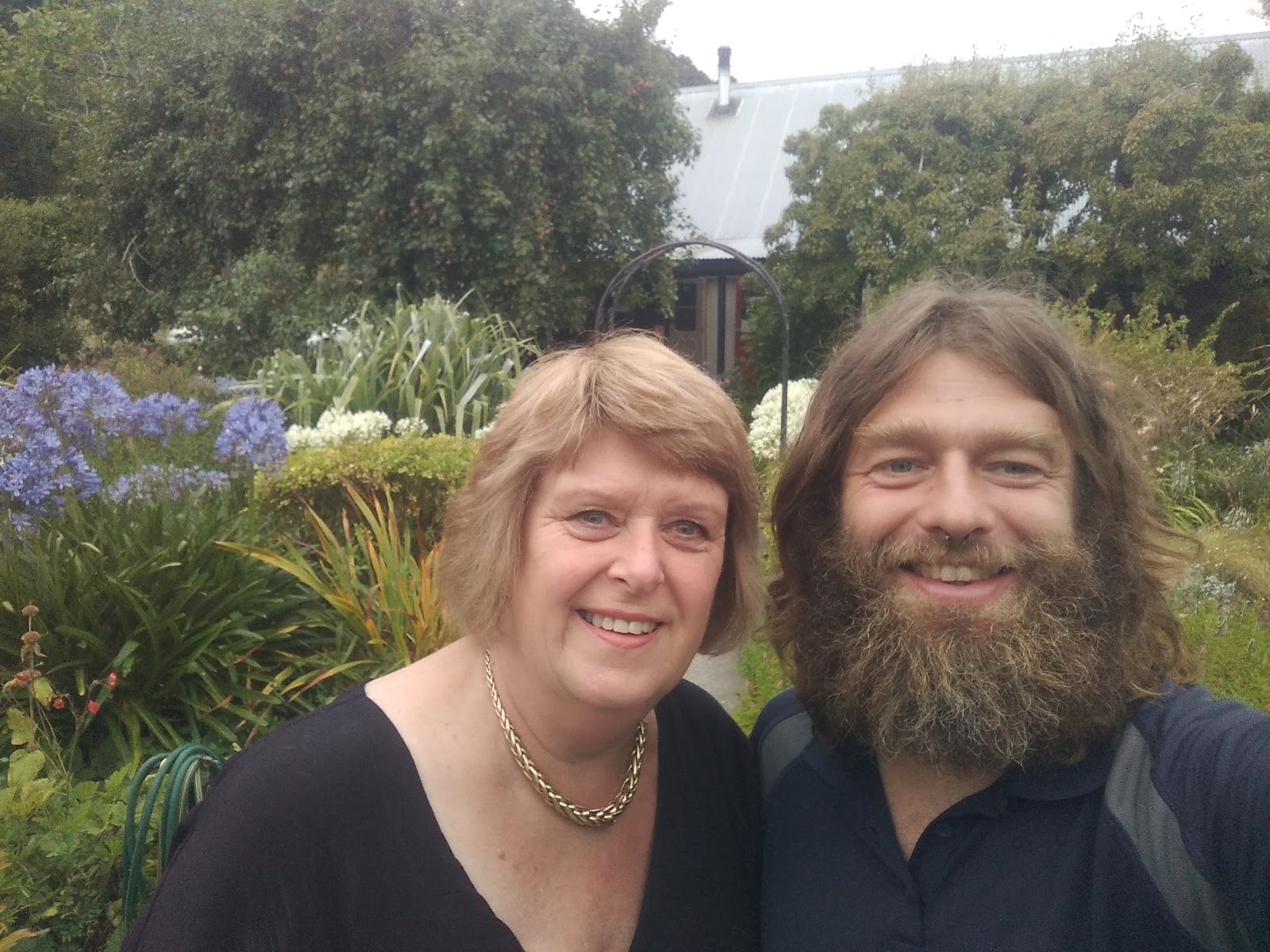
Not only was that the end of the road, but I got a special treat: Sarah came to meet me and walked the final 5km with me! This was appropriate since she'd been with me at the start. And very nice of her, given that she'd already spent 3.5 months with me in my own little walking world, which often left me to neglect everything outside it (including, too frequently, her.)
We took photos and had lunch at Stirling Point, the official trail end. (Fish and chips and Rodenbach Charactiere Rouge if you're curious). Across the street from the finish we picked up the medal kindly made for finishers by the Invercargill City council and the nearby Aluminium smelter. Then we took the bus back to Invercargill, cooked a nice dinner in our hostel and had a few more nice beers. And the following morning flew back to Wellington.
It was surprisingly easy to return to semi-normal life. Everything just slotted right back in as though I'd never been gone (though one friend did comment that I talked less than I used to.) Even my body returned to normal pretty quickly. My feet hurt first thing in the morning for a couple of weeks, but that passed. And after 2 months of being fairly lazy and eating and drinking a lot, I suspect I've gained back pretty much all of the 15 or 20kg I lost.
So what's prompted me to finally write this concluding entry? I went tramping again of course! Sarah and I have actually done a couple of very nice overnight walks since my return, but I'm writing this laying in my bunk at the Alpha hut following my first day of the Southern Crossing of the Tararuas. As usual I'm alone here (I've spent four nights in this hut, evey one alone with wild weather outside.) But hopefully that just means that I'll have a chance to re-live some of my TA memories in solitude during what is forecast to be a beautiful day out on the tops tomorrow.
Friday, 26 January 2018
Te Araroa Day 95, Eichardt's Flat to Queenstown
Starting km: 2680
Finishing km: 2711
km covered today: 31
I was surprise to meet someone running up the track I was walking down a mere 20 minutes after staring, around 6:35 (it often takes me about 40 minutes to break camp when I'm in the tent, but was quicker after sleeping under the stars.)
I'd become used to seeing other people. The walk took me through Arrowtown, then into a fancy resort-community-development thing, through some fancy suburbs and then into Frankton, which is now pretty much a suburb of Queenstown (all the big supermarkets, the airport, that major marina, etc. are there.)
Along the way I managed to get lost twice. The first time I had to retrace my steps by 750m (the worst instance of this on the trail so far!) Then at the second I looked at a map, found an alternate route that didn't involve backtracking and just carried on.
It was also in this period that I came across this day's trail foraging treat: tons of plums! There were at least three varieties, some tiny ones the size of cherries (these were super sweet and I ate 30 or 40 of them), prune plums (not quite ripe yet), and some larger red ones with nice free stones (I restrained myself to maybe 20 of these.)
Once in Frankton the trail pleasantly followed the lakeshore into Queenstown.
It had been a few years since I'd been in Queenstown and, unsurprisingly the tourist madness had continued to grow exponentially (though I think they've actually done a pretty good job of making it remain an appealing place while this has been going on.)
While waiting to check in to my hostel I walked around a lot, went for a swim in the lake (pleasantly warm, rather to my astonishment) and had a beer and a huge bowl of pulled pork and cheese fries at the craft beer bar across the street.
The afternoon (once again, referring to times after 14:00) was spent inside fixing my shoes, planning the final leg of the journey (pretty much 90% finished!) etc.
Now that it's grown a bit cooler I may venture out again and see what Queenstown in the evening is like...
Te Araroa Day 93, Wanaka to Highland Creek Hut
Starting km: 2620
Finishing km: 2650
km covered today: 30
In addition to the (single) beer, the other treat I'd granted myself for the night in Wanaka was to not set an alarm. Not a bad thing, give that I was woken up by roommates returning in the wee hours.
And as this was (for once) not a monstrously long day, it didn't even matter that I woke up at 8:45.
Pack up, then on to an easy stroll along the lake shore. Somehow I managed to get lost while doing this (how do you get lost walking along the shore of a lake!?) But when I discovered this, it just meant that I walked along the (also fairly nice) road til it rejoined the trail.
It did this at the Glendhu Holiday Park. At which the surroundings were nice, but were shared with, at a guess, 2000 other campers in the ~1km long bit of shore it occupied, all of them in huge tents, caravans or both. "Who on Earth finds this pleasant?" I thought as I walked past. But then I imagine many people would ask the same question about what I'm doing.
From there it was on to the Motatapu Track. Constructed in 2008 as a condition of the sale of Motatapu Station to foreign owners (Shania Twain and her then husband), it parallels the Crown Ranges Road, which I've always thought is one of the coolest bits of road in the country. It's also reputed to be a pretty tough bloody walk, so I was curious to see how my cold-weakend body would handle it.
The first stretch was supposed to be the easiest, and really was quite pleasant. Yes, it included a 400m climb, but this was mostly through cool and pretty forest so was not unpleasant.
Popping out of the bush, I arrived at the Fern Burn (burn as in the Scots word for stream; we're in Otago now) and got on to the next bit, which was meant to be more typical of the track. A long climb up to a 1260m saddle was managed with minimal trouble. On the way up you could see Lake Wanaka back down the valley and at the top, some of the landscape to come. I'd read some trail notes describing it as "broken" and now understood what they meant. Lots of steep cliffs, exposed rock, and hardly a ridge anywhere that continued unbroken for any significant length of time. This did look like tough walking country.
But 30 minutes of steep descent and another 40 of upping and downing and sidling through that broken landscape and I was at the Highland Creek Hut. In quite good time indeed. The trail notes had said it ought to take 7 hours. I'd made it in just over 4. So I guess I was dealing pretty well with the cold.
I was sharing the 12 bunk hut with four others, meaning that there was plenty of time and room to enjoy the rest of the afternoon, reading, writing cooking and chatting. (Interesting note: for only the third time since starting TA, Kiwis were again a majority in the hut.)
Thursday, 25 January 2018
Te Araroa Day 92, Stody's Hut to Wanaka
Finishing km: 2620
km covered today: 47
Wednesday, 24 January 2018
Te Araroa Day 94, Highland Creek Hut to Eichardt's Flat
Finishing km: 2680
km covered today: 30
Tuesday, 23 January 2018
Te Araroa Day 91, East Ahuriri River Valley to Stody's Hut
Starting km: 2531
Finishing km: 2573
km covered today: 42
Whew, that was a big day. After spending so much of the last entry talking about how great I am and how easy this stuff is for me, I guess it's appropriate that I tested myself the next day. And I passed, albeit not with a whole lot of fuel left in the tank.
It was an easy morning, with a 5km cruise down to the Ahuriri River through wide open plains that showed almost no life other than the multitudinous rabbits that had denuded them.
The Ahuriri was slightly more than knee deep and fast flowing but warm. A nice way to greet the sun, which was just starting to get its head above the mountains behind me.
From there the walk was an easy flow climb through a working farm. The only particularly interesting or difficult bit was walking a ways up s hill and climbing over a fence to avoid disturbing a very pregnant cow that was hanging out in front of the gate.
Things got a bit tougher when the track turned right and headed up towards Margaret Saddle. Though as it was an ex farm vehicle track it obviously couldn't have been that hard. I doubt you could drive up it now though, as it was covered by what looked almost like shattered rock in some places. These were some highly weathered mountains.
The wind was really howling on top of the saddle, which was to be expected. This meant that I didn't spend long on the top, which is kind of sad, as with the possible exception of some bits of the Motatapu track still to come, the 1680m Margaret may be the last big mountain pass of TA.
From there it was more farm track, even windier and even more rock shard-covered, down to the Top Timaru Hut.
After a late lunch there was when things started to get a bit tough. The section to the next trail junction was meant to be 11km and take 5-6 hours. These estimates are always conservative, but 2km/h is a bit of a warning sign.
The first bit was hard work but fun. Lots of up and down, dancing along narrow tracks as they sidled along in the recently reentered forest. Then a quick crossing of the river, then more of the same.
I was having fun with this, but next time decided to follow the river instead of leaving it when the track did. A northbound (NOBO in thru-hiker speak) walker I'd met said it was possible to go almost all the way to the track junction this way.
And indeed it was. I'm not convinced it was much faster, and with all the scrambling to get around deep pools it probably wasn't any easier. But it was definitely cooler and more fun.
3.5 hours of scrambling up and down the be-bouldered banks of and splashing through the river and it was time to rejoin the track. Just in time for 2kms of climbing at a 25% grade. Normally this wouldn't be that much trouble, but I'd already done 40km, so it was a real slog. I was certainly feeling some pain in my knees and tiredness in my whole body and legs in particular at this point. "See what hubris gets you," I thought to myself, remembering the previous 'blog entry.
Up at the top, the four residents of the six-bunk Stody's Hut were welcoming, even if the hut itself was rather... rustic let's say (dirt floor, warning in the hut book about the resident rat...)
That night I woke up around 2 with a sore throat and realized that I'd caught a cold from the nice English woman in the next bunk in Tekapo who had loaned me needle and thread to repair my shirt. So maybe it wasn't just my hubris that had made the 13 hours of walking so tough.
Sunday, 21 January 2018
Te Araroa Day 89, Lake Tekapo Village to Twizel
Starting km: 2423
Finishing km: 2477
km covered today: 54
As common with many of my long walking days, this one wasn't planned. I set out at 7:15 for The Pines campground, 47km distant. But after a bit of easy walking along the Tekapo Canal I realized that it was 47km from the very farthest end of Tekapo and that I was about 5km closer. That made the walk to Twizel 5km more manageable, so I thought "what the heck," and phoned to reserve a room at a backpackers there.
Other than the scenery and the heat the walk was positively North Island-esque. It was mostly road walking of a sort, though much of this was along the Tekapo Canal and was closed to vehicle traffic (there was a big salmon farm in the canal, which was also a popular fishing spot, presumably for some of the escapees, such as the 50cm fellow I saw jump out of the water.)
The whole day was filled with views of Mount Cook over turquoise bodies of water. It's an impressive mountain and I was certainly familiar with it from every angle.
One of the less positive point of the day was that it was quite hot with few places to get water except for down the long and/or steep lake or canal banks. This made the apple trees I spotted along the trail even better. Objectively they weren't great eating apples. Quite tart, a big dry and rather tannin-y (they'd probably make good cider) but I thought they were divine and ate eight of them.
Speaking of eating, when I finished my day's stroll through the hot, dry McKenzie basin I arrived in Twizel and cooked myself another monster dinner. 1kg of veggies, 300g of corn chips, and a huge bowl of ice cream that was leftover from the girls' school rowing team staying at the same place (I'm actually a bit surprised by that... If there's anyone who can compete in the eating game with long distance hikers, surely it's growing rowers?)
Anyhow, it's all good fuel for the coming days walks. Doing some extra km today has got me thinking of pushing a bit harder in coming days too and maybe getting to Wanaka a day early.