Showing posts with label Lycian Way. Show all posts

Sunday, 10 November 2019

Lycian Way Day 16: Adrasan to Olympos

Adrasan to Olympos
Starting km: 333
Finishing km: 343
Distance walked: 10km

Our plan for this day was to have a (relatively) short one and finish up at a campsite near Chimera, site of several burning natural gas vents in the mountains up above the Mediterranean coast.  Things turned out rather differently.

As with the previous day, this one, through Olympos National Park was actually pretty wild tramping, with very few signs of people or even goats.  Most of the day consisted of a climb up a 720m hill, then back down again. 

Sarah's usually pretty good and quick at the uphills, but a group of goats having a pool party in the stream-bed pond next to our campsite had meant we didn't sleep that well.  And of course this was our sixteenth day in a row of walking.

By the time we made it through the forest on the downhill (forest that could almost have been in NZ, I might add!) it had taken us six hours to cover the ten kilometres to the village/valley/ruins of Olympos.  We only had seven more to go, but it seemed pretty unlikely we'd make it to Chimera before dark. We sat ourselves up on the high rocks above the valley next to the remains of a Byzantine church to think about it over lunch.

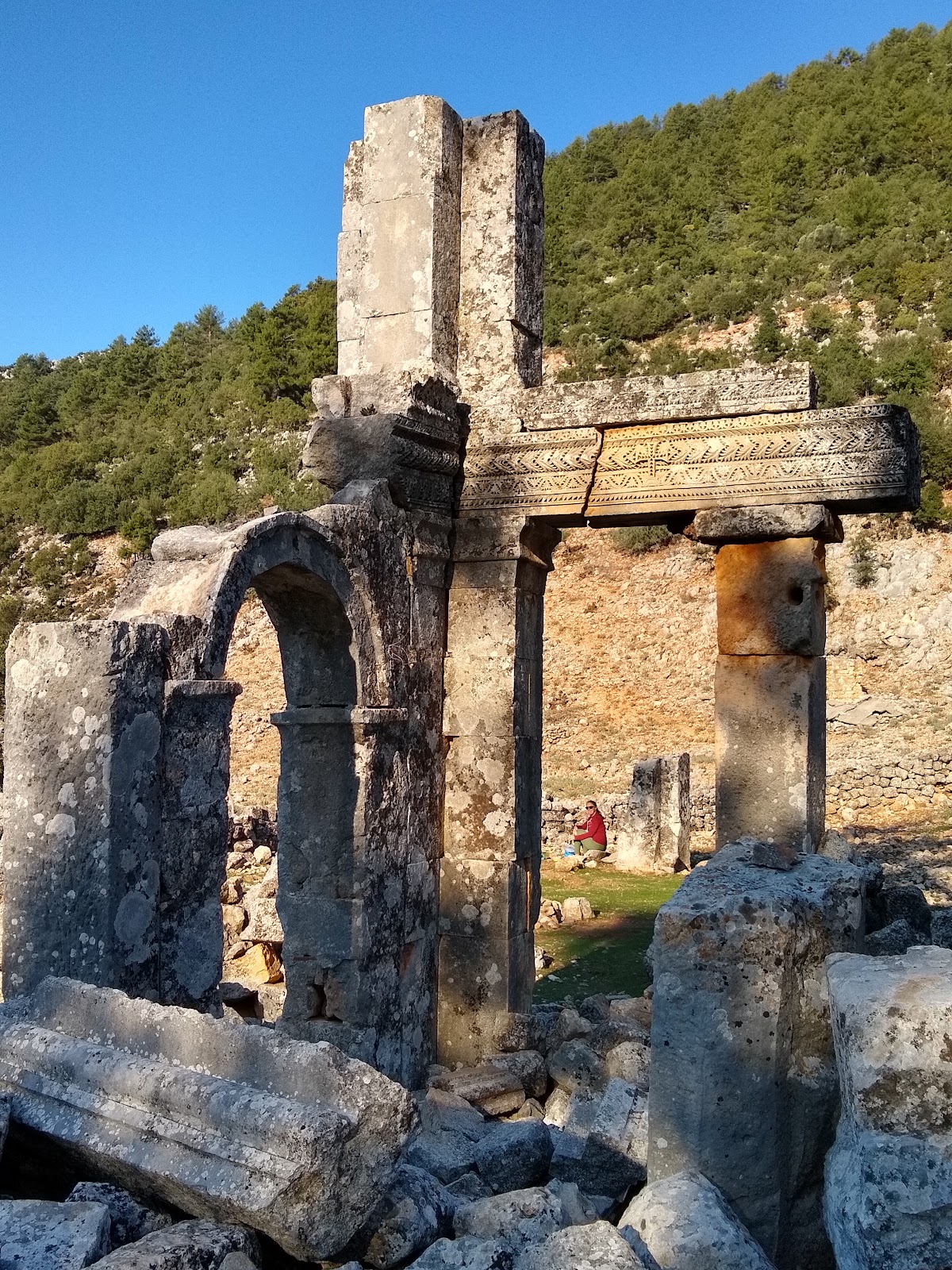
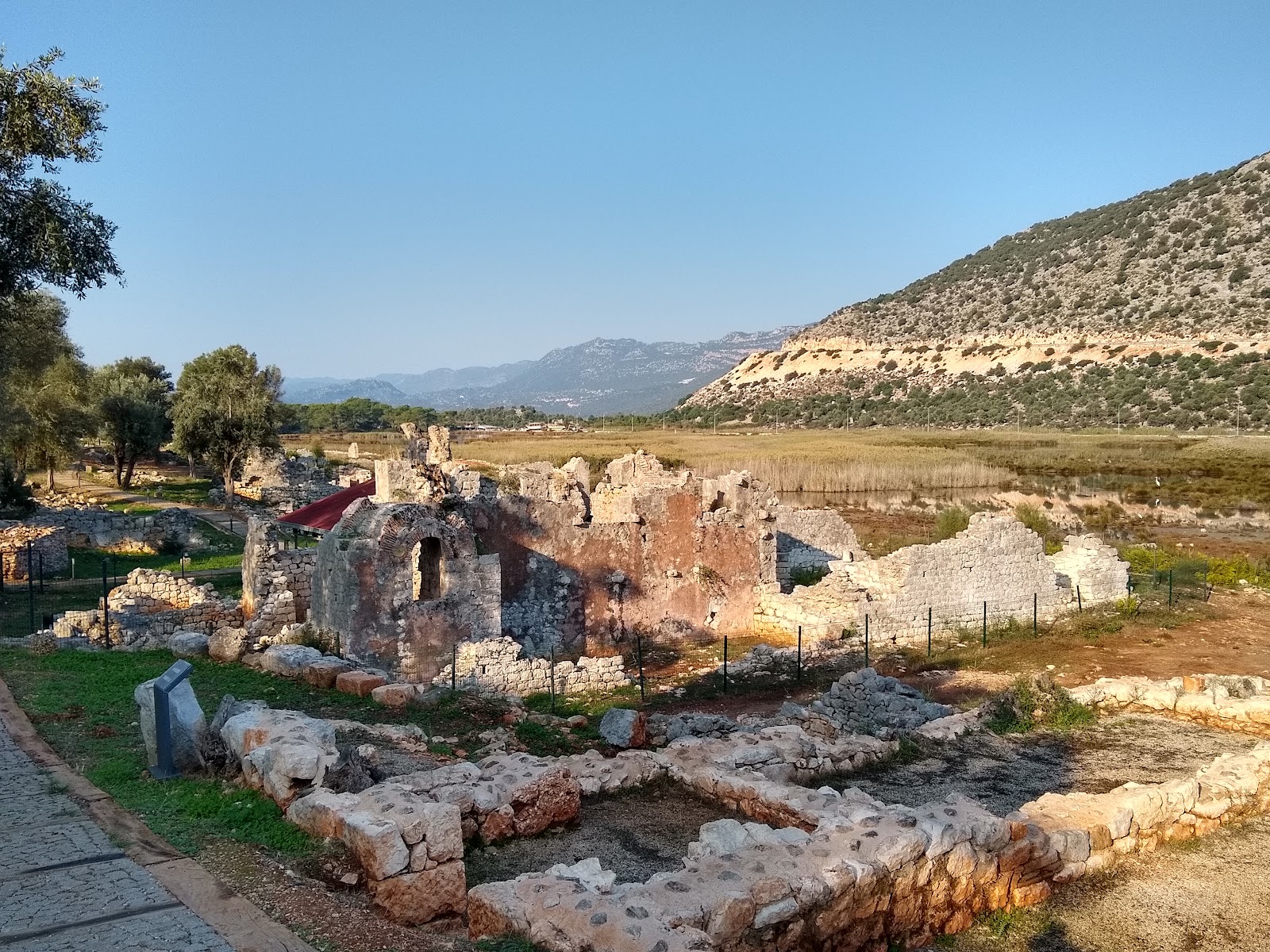
Eventually we decided to spend the night in Olympos.  We headed down the hill and, since the trail is already inside the archaeological site had a nice look around the ruins, which span the from the Hellenistic period all the way through the Lycians and Romans to the Byzantine era.  The signage and interpretation was far more extensive than any of the other sites we'd visited, and had lots more visitors as well.

There are an absolute ton of places to stay in Olympos, most of them backpacker-y type bungalows and tree houses.  Lots were closed for the season, but we ended up with a comfy little bungalow (one of eighty four, in this place alone!)

Once settled in we thought about what to do. Sarah needed at least one rest day.  But I started thinking that, while it would doubtless be fun, and I'd like to finish what we started, the final four days of the walk really were kind of more of what we'd already enjoyed over the first sixteen.  And just like that, we decided to finish our walk in Olympos, head back to Antalya for a couple of days' rest and (this took a little longer) make a quick side trip to Cyprus since we were right in the neighbourhood anyway.

So that's that.  We had a wonderful, beautiful and very enjoyable 16 days and ~350km on the Lycian Way.  While there are a few spots that were a little hot/flat/uninteresting, we both really enjoyed the walk (the longest Sarah's ever done!) and would definitely recommend it to anyone.




Lycian Way Day 15: Karaöz to Adrasan

Karaöz to Adrasan
Starting km: 310
Finishing km: 333
Distance walked: 23km

According to the official guide today's section is one of the remotest on the trail.  It cautions against doing it alone. It seems many have heeded this warning, and it's now a very popular section for group tours to do, meaning that despite the fact that there are no towns, villages or even seasonal shepherd's huts along the way, you certainly won't lack for company.

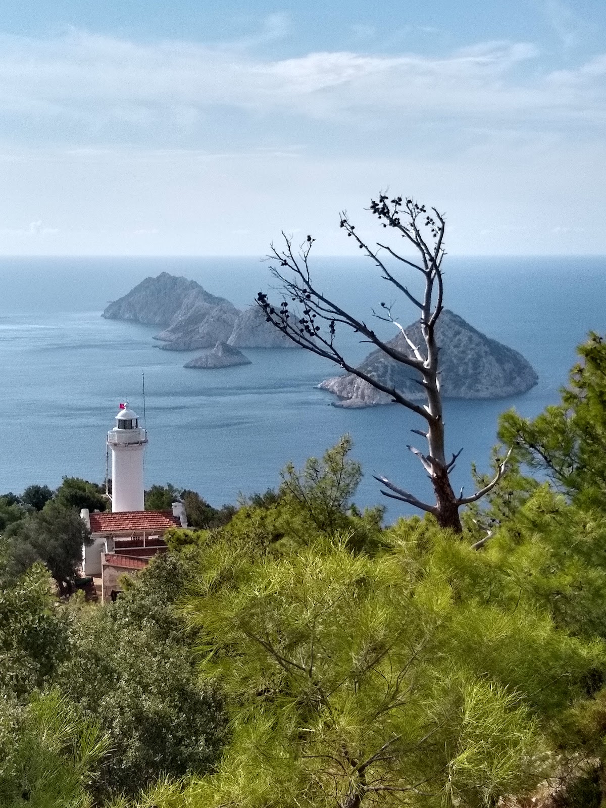
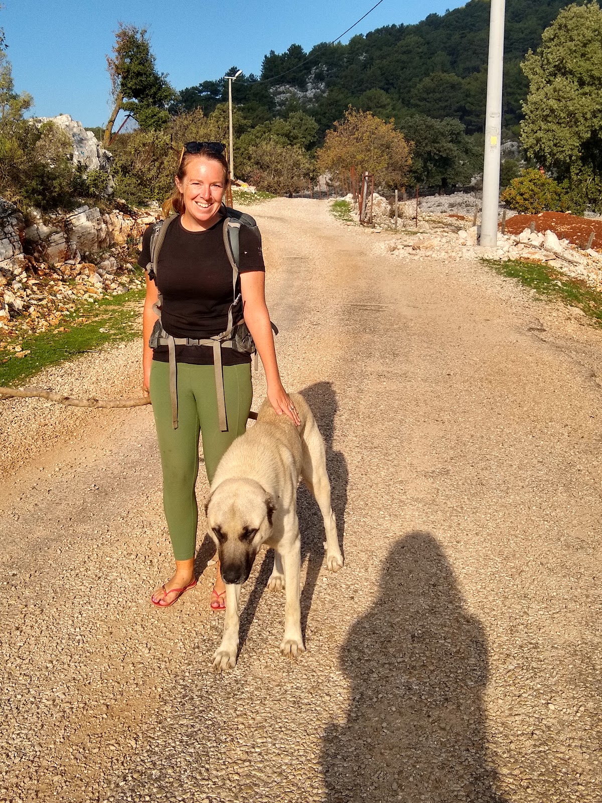
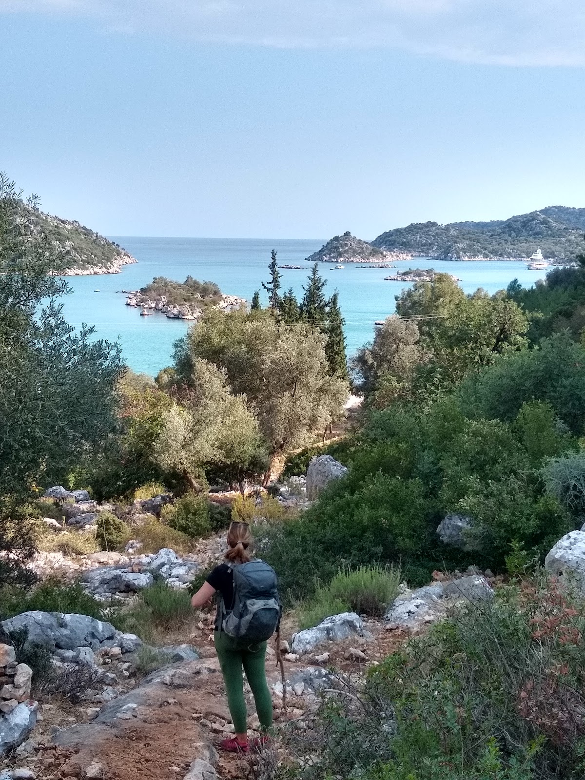
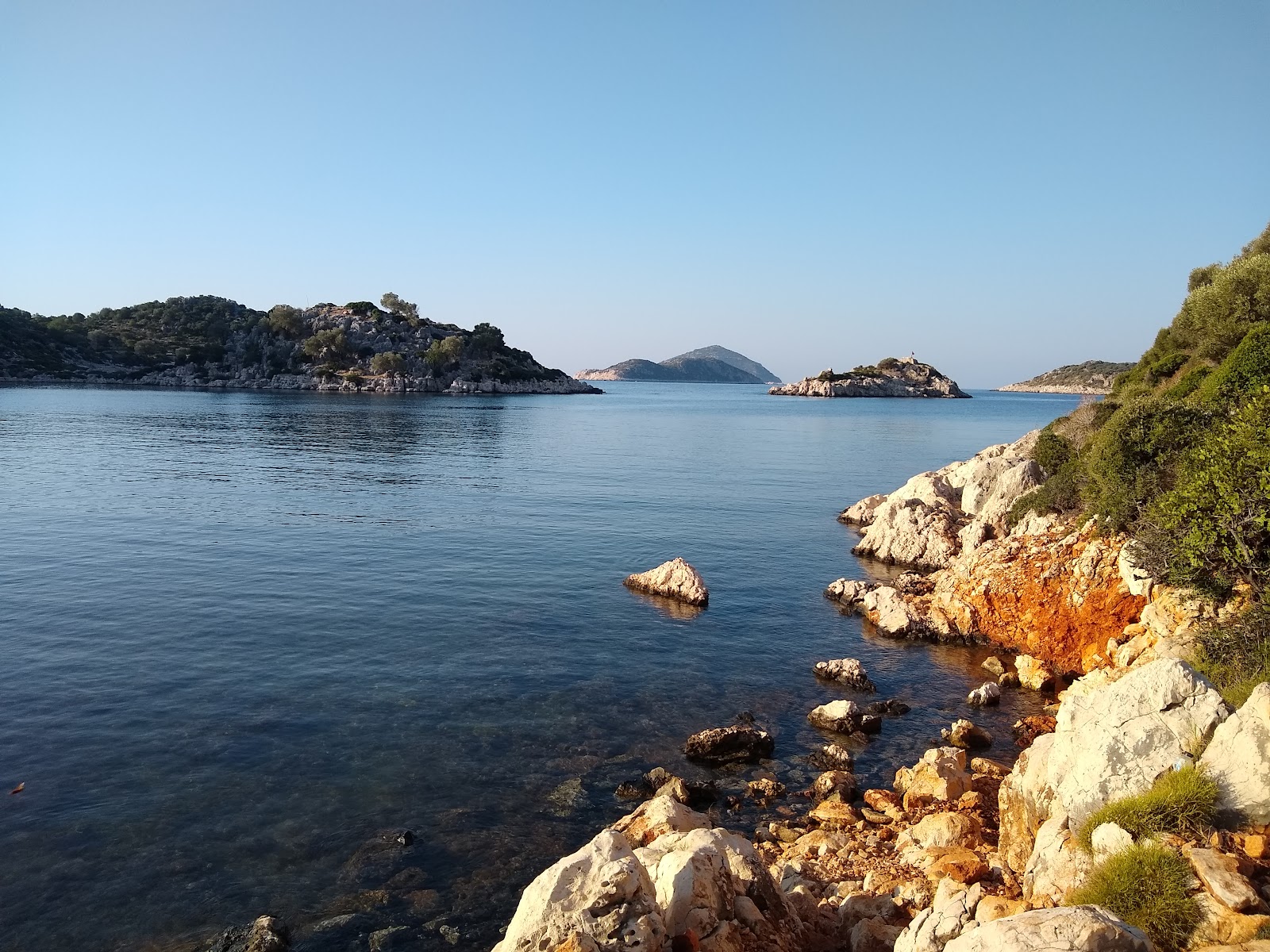
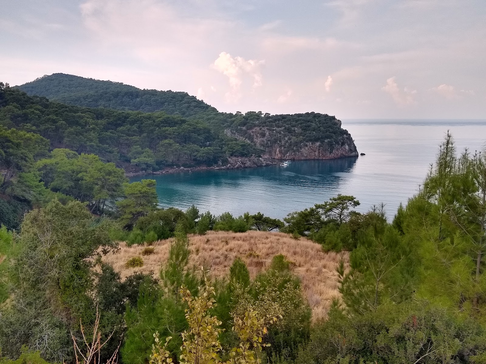
Five kilometres of dirt road and 2km of hiking trail bring you to the Gelidonya loghthouse.  We spent much of this section with a large German tour group, their guides and their guides' dog.  The lighthouse and the chain of five islands to the south is quite pretty and is an iconic image of the Lycian Way.  At Cape Gelidonya, our west-east journey along the Lycian Peninsula ends and we start heading north again towards Antalya.  

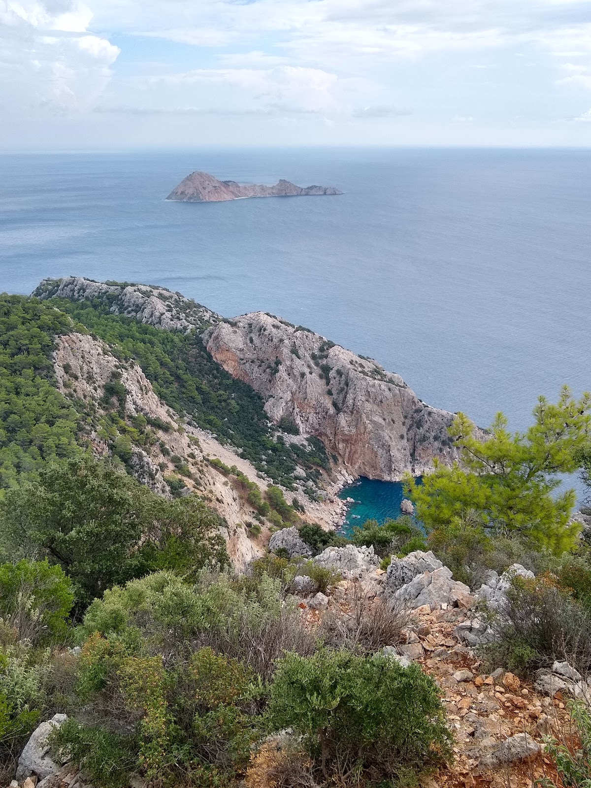
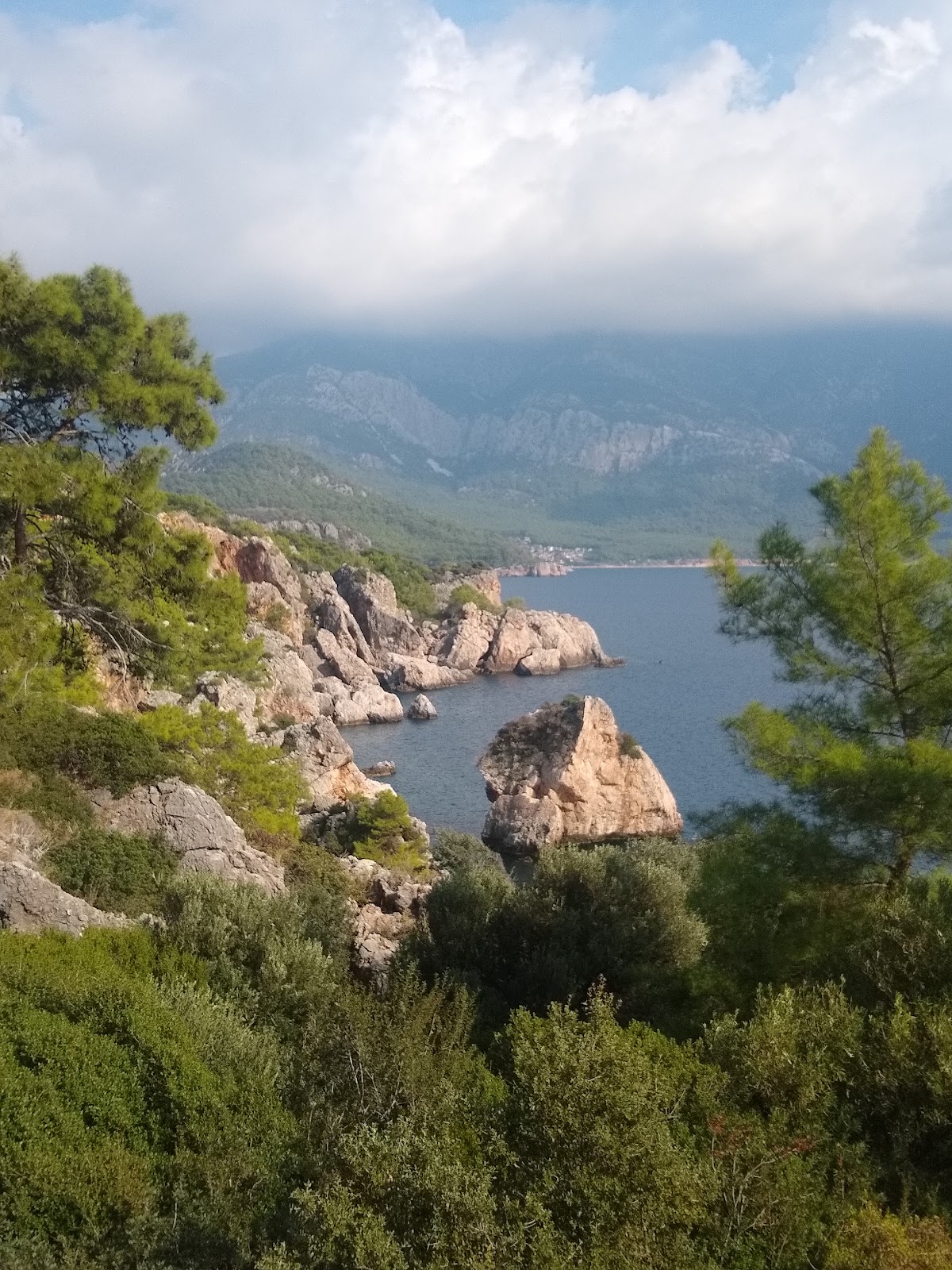
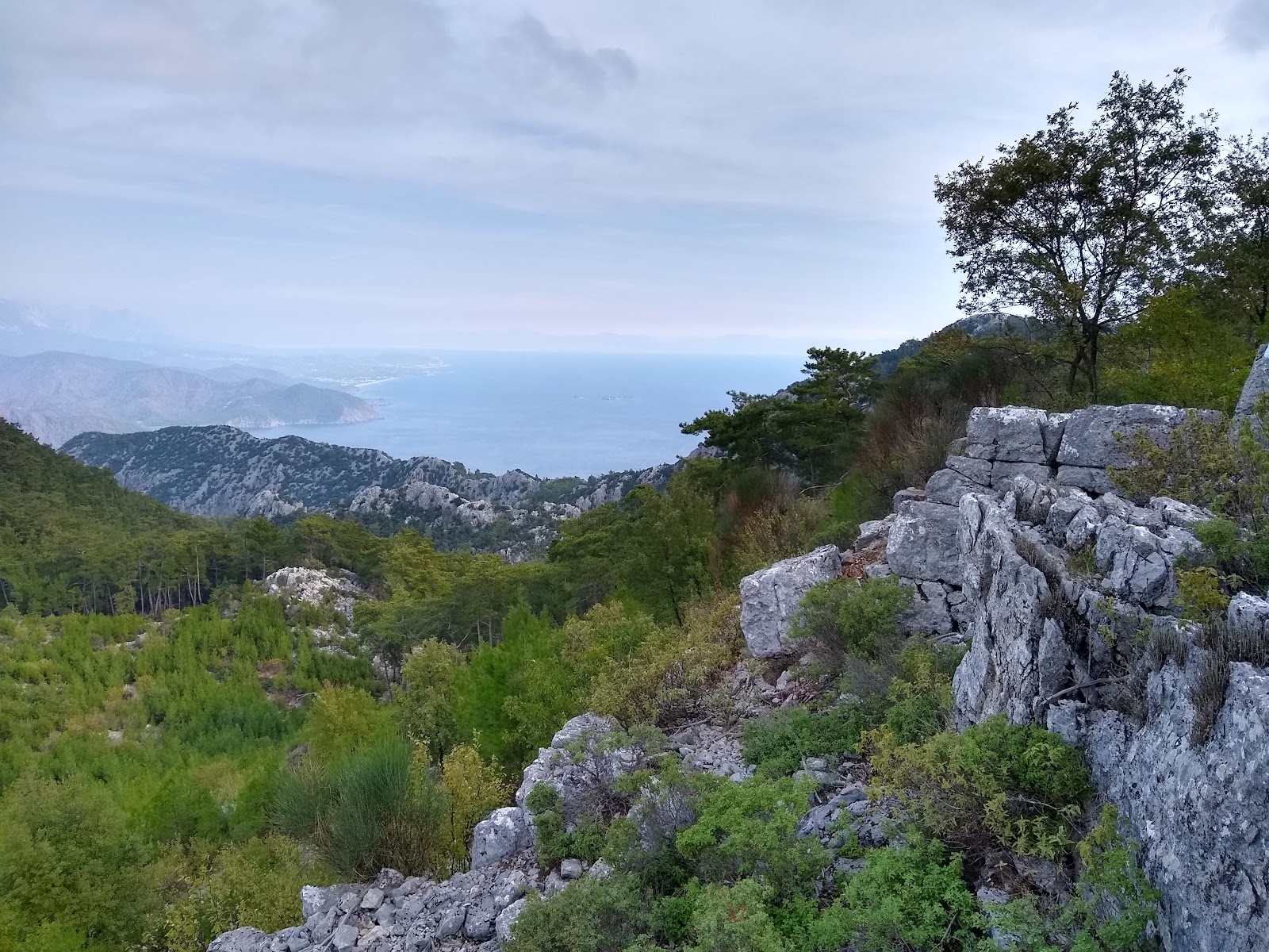
At the lighthouse we also left the tour groups behind and spent most of the rest of the day on our own. The trail here really is remote.  It's the only place we've been where there are no grazing goats, no stone walls, no wells or cisterns.  Not even any Lycian tombs! Just us and (when the clouds cleared, it was a windy day that threatened rain for much of the time) fabulous views up and down the peninusla and out to the offshore islands.

Adrasan is a resort town popular with Turks in the summer, but come November (today was November 1) perhaps only 10% of the hotels, shops and restaurants are open to cater to the thin trade of Lycian Way walkers.  I imagine on a calm, sunny day it would still be pretty nice, but on this one I understood the Turkish tourists' absence and definitely didn't feel like going for a swim.

As we walked through the town a (apparently) developmentally disabled man cheerfully waved hello and then, a while later after we'd done our but of food shopping, handed me a teaspoon.  I tried to give it back, but he wouldn't hear of it. Later on, down the road, I smiled and pulled the spoon from my pocket to show him. He put his finger to his lips and made a shh-ing motion and a conspiratorial face.

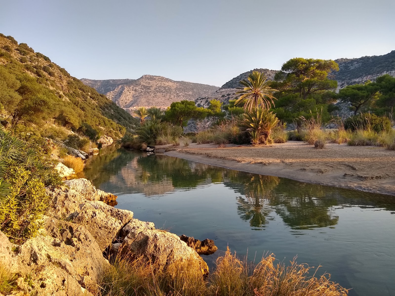
A few km out of town we reached out snug little campsite, right next to an almost dry streambed.  There had been some rain in the forecast, but with a bit of thought, scoping out the surroundings and map reading, we concluded we were quite unlikely to be at risk from a flash floods, even if the forecast millimetre or two turned out to arrive later and be much more than predicted.

No mosquitoes tonight.  Hurrah!


Lycian Way Day 14: Belos to Karaöz

Belos to Karaöz
Starting km: 264
Finishing km: 310
Distance walked: 23km*
*Today we took the trail guide's advice and took public transport to skip over about 20km of walking along the coast next to the busy D400 highway.

This was mostly sort of a repositioning day, getting us ready for the next section of the trail.  We woke to a herd of about 200 goats climbing up past our tent to the valley around and above us.

We had a couple of km walk down the rough, loose limestone cobbles at the bottom of the valley, and had a quick visit to the ruins of yet another Lycian city, Belos.  They're just everywhere in this part of the world!

Soon after Belos, we joined a winding, twisting but paved road that took us all the way down to the town of Finike.  At Finike we did a wee bit of shopping, then took a Dolmus (minibus) to the town of Kumluca, and then (with a minor navigational error that a couple of kind dolmus drivers helped us correct) down to the town of Mavikent.

It was a 2.5km walk down to the beach to rejoin the trail.  The beach was either loose, rubbish strewn sand or small rocks near the water, so we carried on along the road until the beach disappeared and the road was the only choice left anyway.

9km on said road, past some really beautiful bays and beaches, and we arrived at Karaöz, the last town before the coast of the Lycian peninsula turns north again.

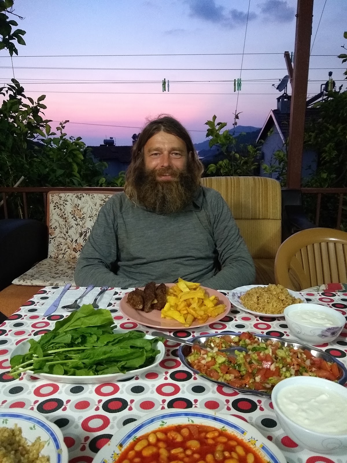
We spent a night at the Gelidonya pansiyon.  A bed and a shower alone would have qualified the place as wonderful, but the super friendly hosts, and the huuuuge and delicious dinner (kofte [spiced meatballs] and chips, beans in spicy tomato sauce, salad, mustard-like greens, fresh goat yogurt that was funky and almost still fermenting, bowls of bulgur, bread and fruit.  Even writing it down is hard work, much less eating it!)


Lycian Way Day 13: A km north of Beloren to Belos

A km north of Beloren to Belos
Starting km: 245
Finishing km: 264
Distance walked: 19km

A beautiful day's walk in the mountains.

Morning was fresh and cool, almost cold, and we walked 3km along and down to the 8th century Byzantine church of the Archangel Gabriel.  Only one wall and a small section of a chapel are still standing, but between these, the tumbled blocks, column capitals and porticos it was an amazing place for breakfast.

From there it was up, up and up.  The climb up the side of the valley wasn't difficult so much because it was steep (though it was) as because the trail was loose and rocky underfoot (when you could find the trail) and it was difficult to figure out exactly where you were meant to be going.

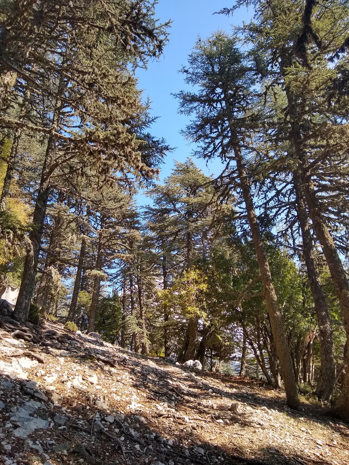
But once the climb was over it was a wonderful cool and sunny afternoon up on the tops.  Sometimes the expanses of bright white rock seen through the trees looked like snow. There were new short needled pines, a few majestic old cedar trees and even maples that were starting into their fall colour change.

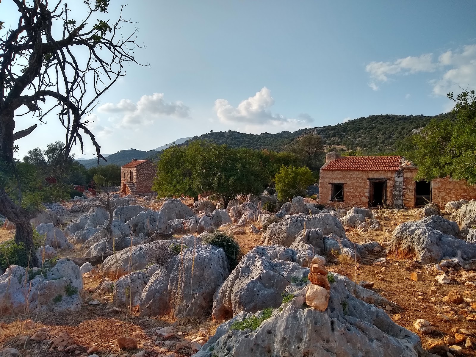
On our walk back down we passed through a few mostly abandoned summer grazing settlements, with cloud almost coming down to reach us as we walked through one.  Sarah was pretty tired when we reached out campsite at another around 16:15. But tired or not, she'd done amazingly. This section is one of the hardest on the whole trail, and we made it through with flying colours.
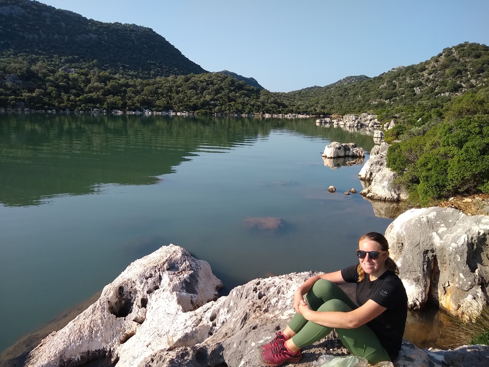
Today's last minute additions: At around 1770m, we passed the highest point on the trail today.  The only water sources on the way were Wells where you tossed a bucket on a rope down to the bottom and pulled it up by hand.


Thursday, 31 October 2019

Lycian Way Day 12: Cakil Beach to a km north of Beloren

Cakil Beach to a km north of Beloren
Starting km: 222
Finishing km: 245
Distance walked: 23km

We were up super early today, first ones out of the campsite at around 06:30.  It was a pleasant walk down the coast to Cayagzi Beach. Accompanying us was a cute small to medium sized dog that had come in with a small group right before sunset the previous day.  I'd originally thought he was their dog, but it quickly became apparent that, although wearing a collar (but not a tag) he didn't belong to anyone at the camp.

At the beach we took a bit of a detour off the official route.  First to walk across the nice sandy beach, then to visit Adrianke, the port that served the Lycian/Roman city of Myra to the north.  We wandered in amongst the ruins, which got steadily more impressive until we arrived at the heavily (over) restored granary which had been turned into a museum.  We walked out the front gate (dog in tow, after having used Sarah's walking stick to scare off a couple of other dogs that had attacked it) just as some of the site staff were collecting eggs from the resident hens and others were having their morning team meeting.
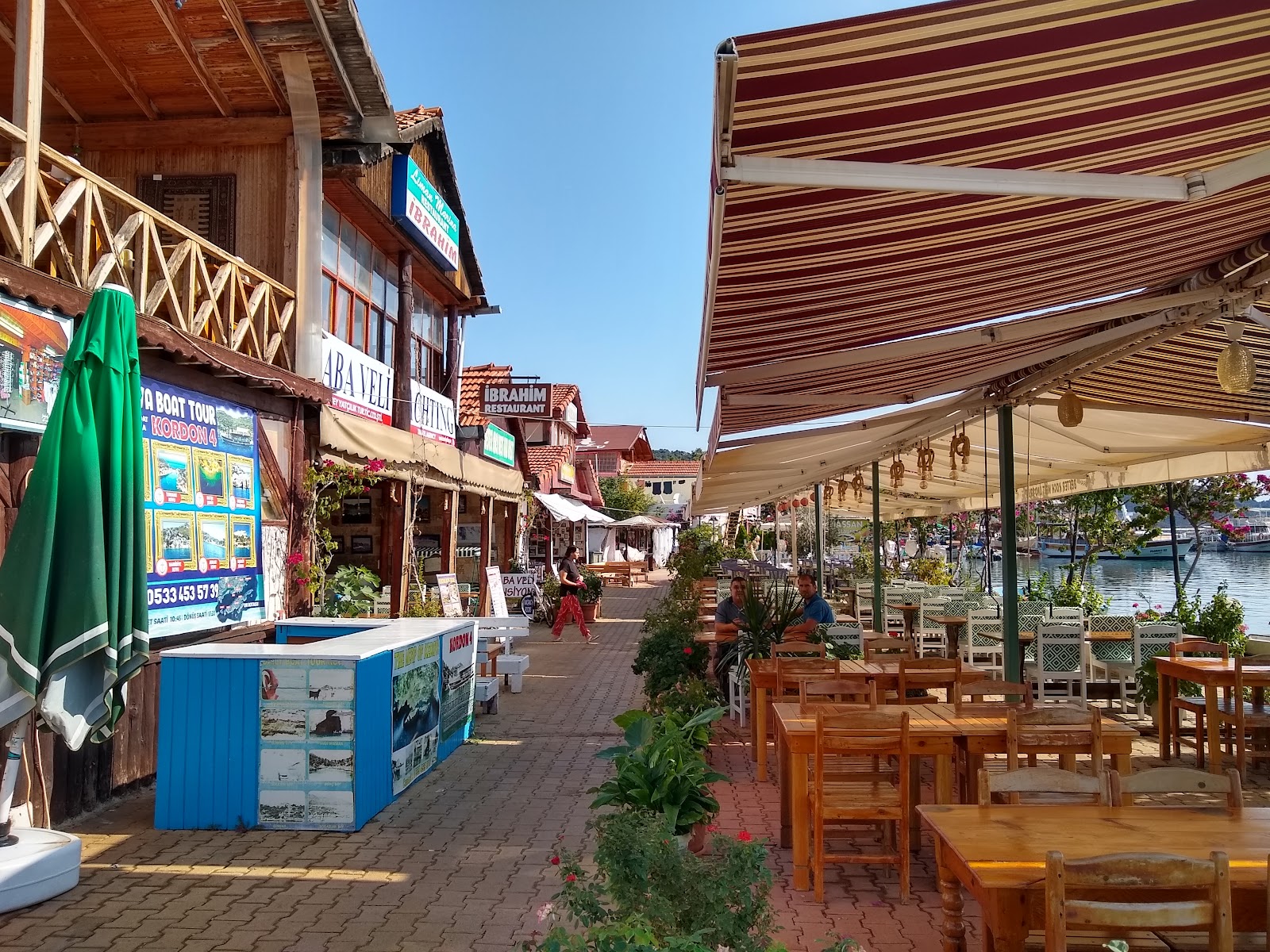
The final, and primary reason we'd taken a detour was so that we could walk through the city of Demre to do a food resupply before heading up into the mountains for a few days.  We had a bit of a scare when we passed the city's big Republic Day celebrations outside town. We stopped for the playing of last post and the national anthem (as, apparently, everyone in the country does).  But despite the holiday, most shops were open, and we left town to the north fully restocked. With, of course, dog in tow.

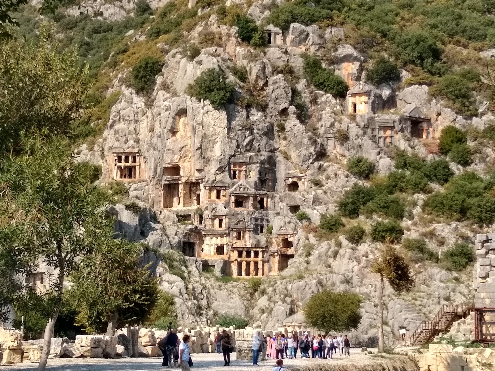
We finally left him behind when we visited the archaeological site of Myra.  We didn't even go into the grounds, which consist primarily of a large number of tombs spectacularly carved into cliffsdes (which you couldn't get very close to inside the site) and a theatre (which we've seen so many of recently that it didn't feel like we were really missing out on).  Anyhow, I think our dog was getting tired, hot, hungry and thirsty. And having realized we weren't going to feed him, decided to stick where there was water, shade, lots of people and at least one other friendly dog. I'm happy we parted ways before we headed up into the mountains, or we would have felt compelled to look after it.  It was clearly a people-dog, sitting nicely and actually seeming to listen to commands to not bother us (or our food) while we ate breakfast. I doubt it'll find its original family, but I do hope it finds a nice new one.

As for us and the mountains, after a rough start to the climb behind some greenhouses and over a narrow, barely identifiable trail covered in dead leaves and branches, we found ourselves on a very nice, relatively gentle trail up a valley.

Three hours or so (including lunch break) brought us to the village of Beloren with its sheep welcoming committee (complete with honourary goat) and very loud chicken noises.

A further forty minutes brought us to our small campsite. At 950m, it was a world away from our morning by the sea, and from where we could just hear, but couldn't see, life in the town down below.

Other quick concluding notes: We saw several camels today, both show camels in town, and a couple others in little barns on the route.  Also, we're back in pomegranate country. We picked three from wild (or at least feral) trees along the roadside. Demre is the birthplace of St. Nicholas, so has a lot of eastern European tourists and Santa Claus on the logo of the city council.


Lycian Way Day 11: Aperlae to Cakil Beach

Aperlae to Cakil Beach
Starting km: 204
Finishing km: 222
Distance walked: 18km

Almost the entire day was spent walking through what looked like a giant natural rock garden.  And while some of it was climbing over the rocks or pushing through the predictably spiky plants, a lot of it was just walking along flat manicured (or so it seemed) trails.

Along the way were lots of little bays.  Not sure if the somewhat murky character of the water was due to the previous night's thunderstorms or if they just aren't the brilliant turquoise of most of the rest of the sea 'round here.

We had two quick visits to small tourist towns on the coast, Ucagiz and Kalakoy.  The former has a road leading to it, but is most easily reached by boat or foot, and the latter has no road access at all.  They both seemed like really lovely places. It seems like the farther along the coast you go from Kalkan, the nicer the tourist towns become.

Kalakoy is also home to a 14th century Genoese(!) castle, which shares the hilltop behind the town with the biggest concentration of Lucian tombs we've yet seen.  I'm in danger of getting tombed out! Just off shore of Kalakoy are further remains of the Lycian city of Kekova, dropped there after its abandonment by a series of earthquakes.

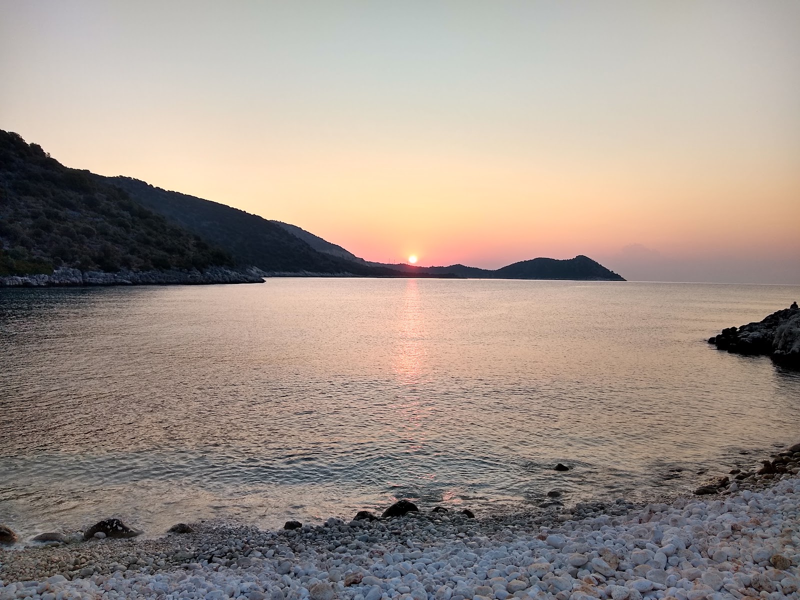
We ended the day at lovely little beach at the end of a narrow bay.  The stones of the beach are made of well rounded marble!

Quite a few mosquitos here, but multiple squadrons of dragonflies are doing their best to keep them at bay.

Oh!  Almost forgot!  Shortly before stopping for the day we crossed the official (by the gpx track we're using for navigation) halfway point!


Lycian Way Day 10: Coban Beach to Aperlae

Coban Beach to Aperlae
Starting km: 184
Finishing km: 204
Distance walked: 20km

With the disaster of the previous evening, it was nice that we are least got to appreciate the views out from "our" bays. They actually weren't even exclusively ours, as there were at least three other tents there, only the second time we'd had anyone else at a campsite with us.

The following morning the walk along the coastline then up away from the shore was mercifully easier than the previous night's.  And though it was much hotter down at sea level, things went fairly smoothly.

We made it to the base of the hilltop city of Apollonia in early afternoon, though declined to climb up, because:
  1. There were many more ruins to come and
  2. We wanted to ensure that we reached out destination for the night, an actual pansiyon (guesthouse/pension) rather than a campsite, with time to go for a swim.

As if to prove point A., with a few km of gentle downhill behind us, we arrived at the remains of the city of Aperlae.  All that obviously remains are the city walls, and dozens of tombs scattered across the landscape.

A short walk over a narrow isthmus from Aperlae and we reached our planned pansiyon.  The wind had really picked up, and even though it was only 16:00, our shadows were already very long.  So a swim didn't really seem that appealing anymore.

But we still got to sit on the covered dock and watch as the clouds built and greyed on the horizon.  Though the whole evening was a little pricey, we had a delicious dinner of a whole grilled fish, with yummy oregano, lemon, onion and garlic sauce and a side dish of yogurt and spice covered grilled veggies.  Further accompaniments took the form of bites from mosquitos (bad) and watching lightning in the distance (good, since we were sleeping indoors).

An altogether better day, and one that finishes in a comfy, cozy bed, all clean (albeit from a cold shower).

Today also seemed to be packed with other walkers: the five or so we shared the campsite with in the morning, a group of eight or so Ukrainian hikers, and a huge group of maybe 30 Turkish day hikers.  This after rarely seeing more than four or five other walkers a day since about day three!


Lycian Way Day 9: Small clearing 1000m up in the mountains north of Kas to Coban Beach

Campsite in the mountains Waaay up above Bogazcik Adask to Coban Beach
Starting km: 163
Finishing km: 184
Distance walked: 21km

My memories of this day are clearly coloured by the end.  We (or I at least) thought we had plenty of time to make the final 3km walk to our campsite at Coban beach (actually a pair of little rocky beaches, each at the end of its own little bay).  But I hadn't reckoned on the fact that Sarah was already pretty tired and that the last kilometre was very rough going over bouldery and heavily eroded rocky coastline. We ended up arriving with Sarah exhausted and very unhappy.  We hadn't quite needed to walk in the true dark, but we did need our headlamps to find a spot for the tent and set it up.

With that unpleasantness behind us, I'll talk about the good bits of the day.

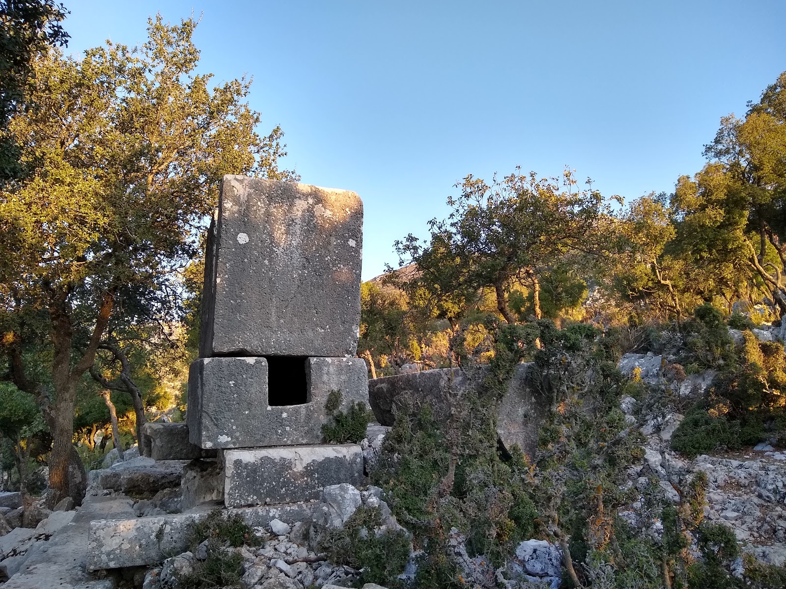
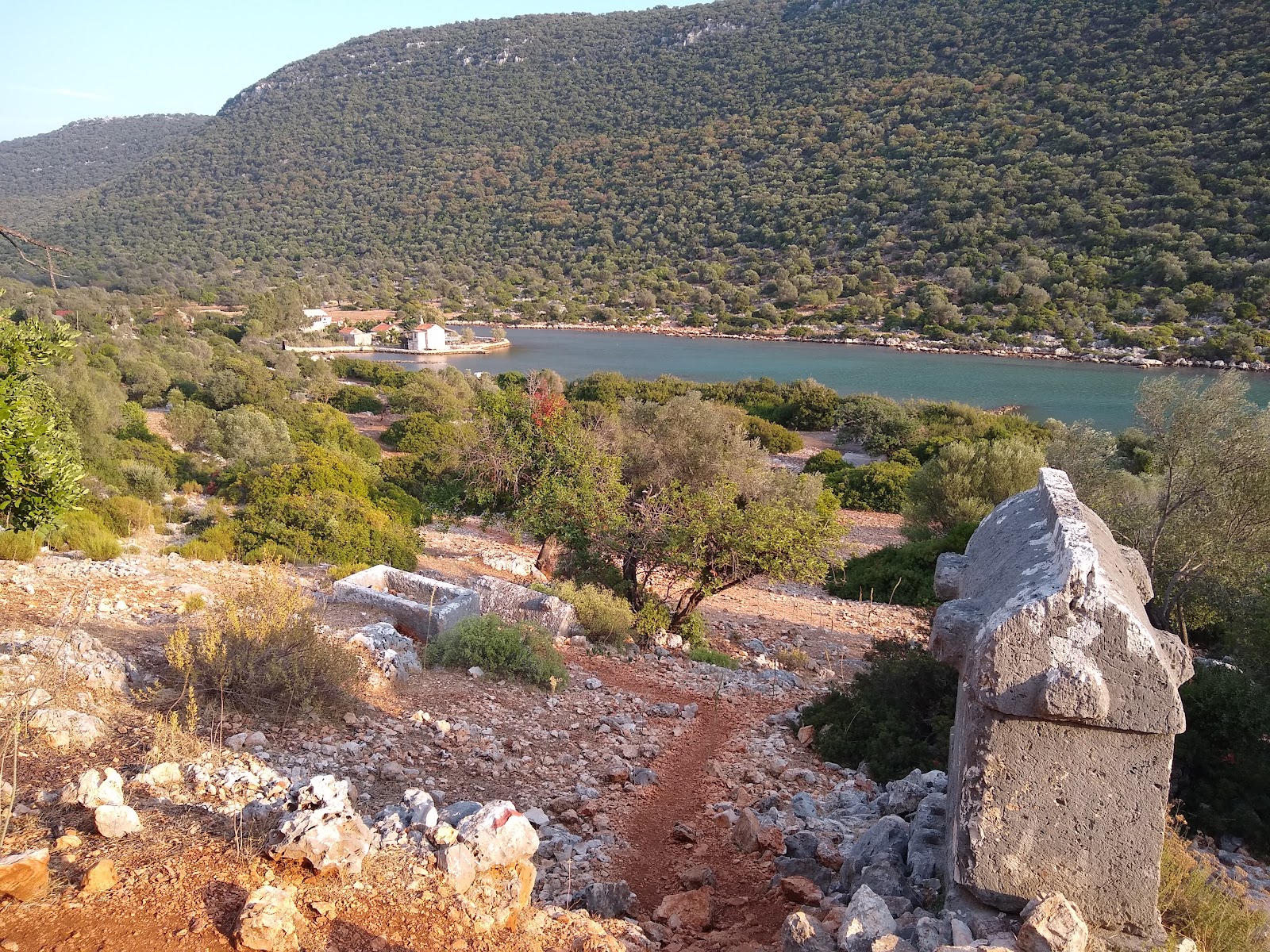
In the morning we had a fairly easy walk down, then briefly up to the ruins of Phellos.  This was a small Lycian garrison town high up on a ridgetop. We sat and had breakfast looking one way down to the Mediterranean, another way back to the mountains we'd come through and all around us at the ruins of the town walls and the Lycian tombs.  The tombs are the most robust of all Lycian structures, surviving neven when little else does. There seem to be two main types, those carved straight into the rock of hill or cliffisdes, and the massive stone sarcophagi that are raised up on platforms.

From there we had a looooong way down to the city of Kas, so it was a little surprising that, after a quick couple of hundred metres down from Phellos, we spent most of our time cruising along a red earth plateau.

The reason for this was that we had a great big cliff to first sit and admire the view from (along with a herd of wild goats that wandered past [I'll leave it to the reader to decide whether we were admiring both the view and the goats, or whether we and the goats were admiring the view]) and then walk down to the bottom of ourselves.

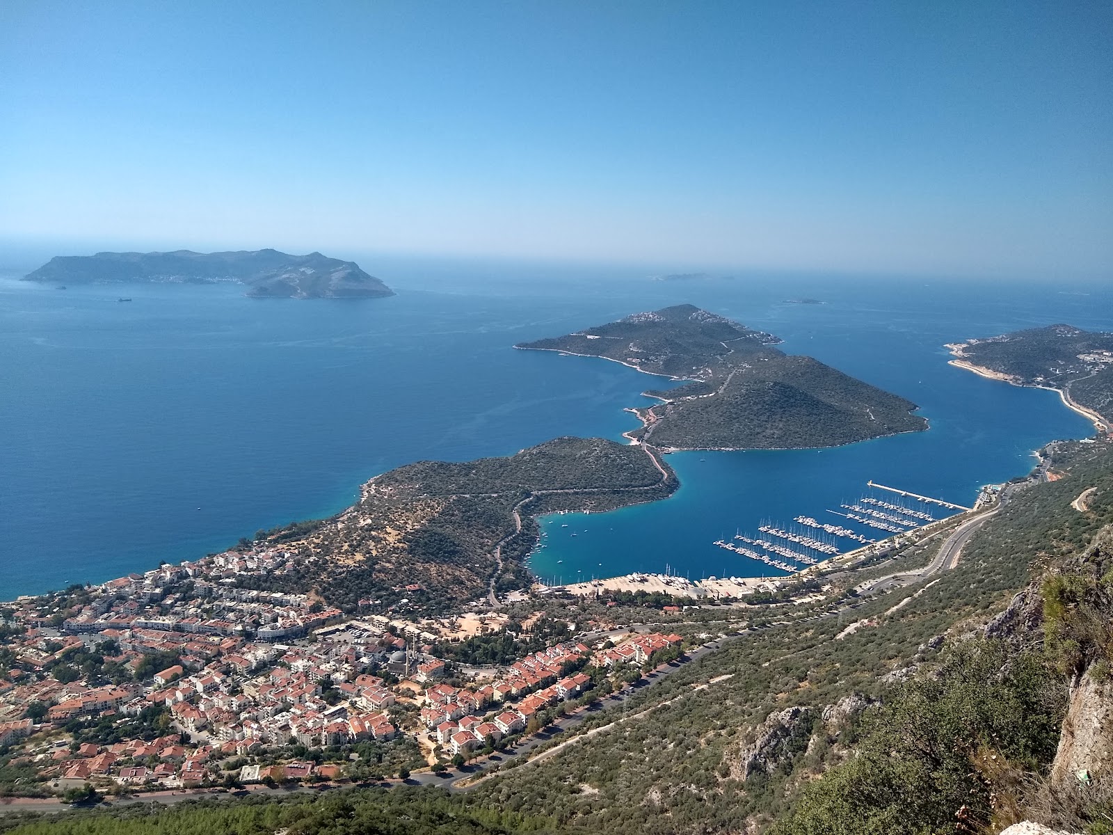
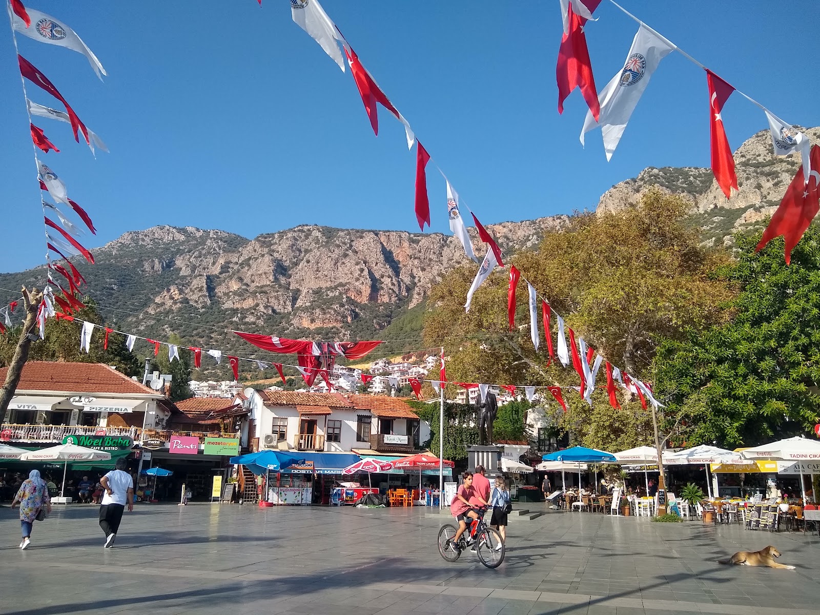
When we finally did, we were in Kas.  It's pretty much just as tourism focussed as Kalkan, but I liked it way better.  It still feels much more lived in, and the tourism businesses aren't quite as fancy/overpriced.

We spent a long time in Kas, doing some grocery shopping, drinking some ayran, eating some borek, drinking a coffee and a tea and charging my phone.

Following all this, we carried on walking along the coast, stopping at Limanagzi public beach (which had a shower) for a refreshing afternoon  swim. Which, since we've already discussed what happened next, and will discuss it no further, is the end.